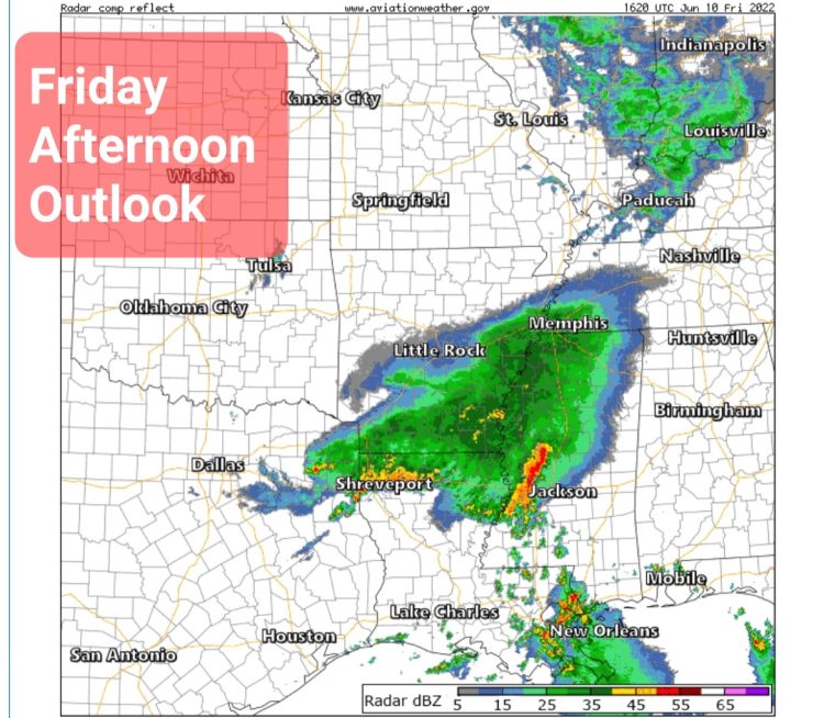
The National Weather Service in Little Rock says to look for 
Expect severe storms to affect roughly the southwestern half of Arkansas Friday morning into early afternoon. Damaging winds and large hail will be the primary threats. While tornadoes are unlikely today, it’s not a zero chance.
Torrential rainfall will lead to an increased potential for flash flooding, especially with saturated soils over much of northwestern, western, central, and southern sections. Ongoing river flooding will worsen as a result with flashy rivers expected to see rapid rises.
On Saturday and into the new work week, the chances for showers and thunderstorms will decrease. However, it will be hot and humid, and at times, oppressive conditions will ensue over the region Sunday into the middle of next week.
Daily high temperatures will climb into the low to mid 90s, and heat index values will likely approach or exceed 100 to 105 degrees some afternoons, with Sunday and Monday currently exhibiting the most widespread potential for heat advisory level heat index values (105 degrees or greater).
In addition to a daytime heat threat, nightly lows will also be of concern, e.g. overnight lows in the mid-70s coupled with dewpoint temperatures in the low 70s, resulting in minimal overnight relief/cooling potential.
Here are 3 things you should do in this situation of multiple days of oppressive heat and poor overnight cooling/relief in the forecast:
- Check up on those who will be most vulnerable,
- Adjust your outdoor plans (hydrate, stay in shade, limit time outside).
- Bring pets inside during peak heating hours.
- Don’t leave pets or children in a vehicle without air conditioning.
EXTENDED FORECAST


