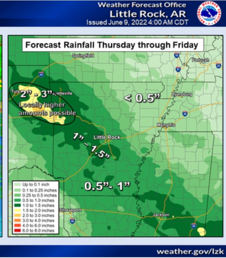
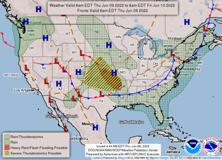
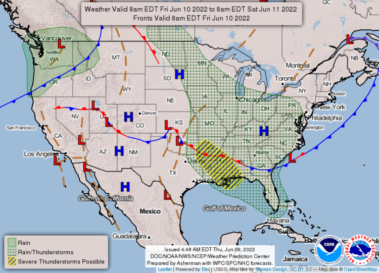
The National Weather Service in Little Rock has issued a Flood Watch effective until Friday, June 10th at 2:00 p.m.
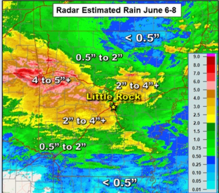
From late Thursday night through Friday afternoon, excessive runoff may result in flooding of rivers, creeks, streams, and other low-lying and flood-prone locations. Heavy rain is expected over areas that have already seen significant precipitation over the past several days. Widespread rainfall of 1-3 inches will be possible with locally heavier amounts. The ground is saturated in many areas from recent rain and is simply unable to absorb any more water leading to run off issues and subsequent flooding concerns.
There may be flooding caused by excessive rainfall in portions of the following areas:
Central Arkansas, eastern Arkansas, north central Arkansas, southeast Arkansas, southwest Arkansas and western Arkansas.
In central Arkansas
Conway, Faulkner, Garland, Grant, Lonoke, Northwest Yell County, Perry, Pope County Higher Elevations, Prairie, Pulaski, Saline, Southern Pope County, White and Yell Excluding Northwest.
In eastern Arkansas
Monroe and Woodruff. In north central Arkansas, Cleburne, Eastern, Central, and Southern Searcy County Higher Elevations, Newton County Higher Elevations, Newton County Lower Elevations, Northwest Searcy County Higher Elevations, Searcy County Lower Elevations, Southeast Van Buren County and Van Buren County Higher Elevations.
In southeast Arkansas
Arkansas, Cleveland, Jefferson and Lincoln. In southwest Arkansas, Clark, Dallas, Hot Spring and Pike.
In western Arkansas
Central and Eastern Montgomery County, Central and Southern Scott County, Johnson County Higher Elevations, Northern Montgomery County Higher Elevations, Northern Polk County Higher Elevations, Northern Scott County, Polk County Lower Elevations, Southeast Polk County Higher Elevations, Southern Johnson County, Southern and Eastern Logan County, Southwest Montgomery County Higher Elevations and Western and Northern Logan County.
EXTENDED FORECAST


