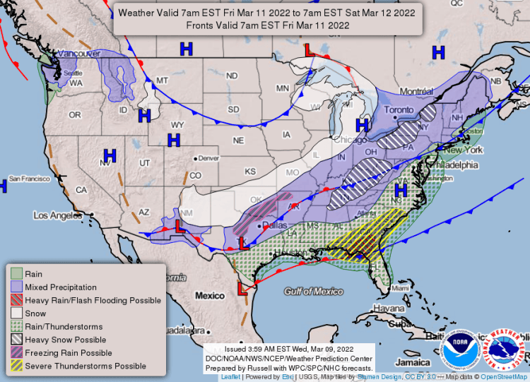
A strong cold front associated with a potent upper level storm system is expected to drop southeast through Arkansas on Friday, then leave the area Friday night, according to the National Weather Service in Little Rock.
Wintry precipitation, in the form of mainly accumulating snow, is becoming more likely for northwestern and northern Arkansas, as well as the higher terrain of the Ozark and Ouachita Mountains late Friday morning through the afternoon.
See the extended forecast below ?
Snowfall is expected to shift southeast towards central and eastern Arkansas by late Friday afternoon and Friday night.
Accumulations of a few inches (with locally greater amounts) will be possible across the northwestern half of the state, with up to a few tenths to near an inch over central and eastern Arkansas, resulting in some minor travel impacts.
Dangerous cold air will be in place across the state late Friday night into Saturday morning, with temperatures in the teens to low 20s, and wind chill values in the single digits to near zero across the north and northwest. Wind chills may only be in the teens across central and southern Arkansas.
EXTENDED FORECAST:


