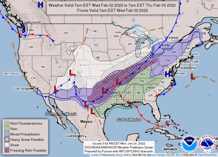
A winter storm with significant snow and ice accumulations is possible this week, according to the National Weather Service in Little Rock.

Additionally, a very cold Arctic air mass will move into the state late in the week with minimum temperatures in the single digits to low 20s and wind chills in the single digits.
Scroll down for the 7-day forecast at the end. ?
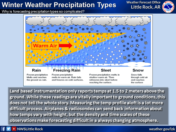
Precipitation will begin as rain on Tuesday with a prolonged and messy transition to snow, sleet, and freezing rain occurring throughout the event. The threat of wintry precipitation will increase across central and portions of southern Arkansas by Thursday morning.
Scroll down for the 7-day forecast at the end. ?
While accumulating wintry precipitation will be possible over much of the state outside of southern Arkansas, the highest potential for significant snow accumulation resides across northwestern and north-central Arkansas. The highest potential for significant sleet/ice accumulation resides across north-central and northeastern Arkansas.
Significant and widespread disruptions to travel and infrastructure are possible where the highest accumulations of snow and/or ice occur. Dangerous cold is also likely and cold weather impacts may be worsened by power outages.
Scroll down for the 7-day forecast at the end. ?
★ Protect your home and pets. Cover your outdoor faucets, let the inside faucets drip when it’s below freezing outside, and let your pets indoors or have a warm place for them. ★
HERE’S THE SALINE COUNTY 7-DAY FORECAST:


