Read more forecast and 7-Day Outlook below ?
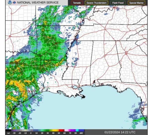
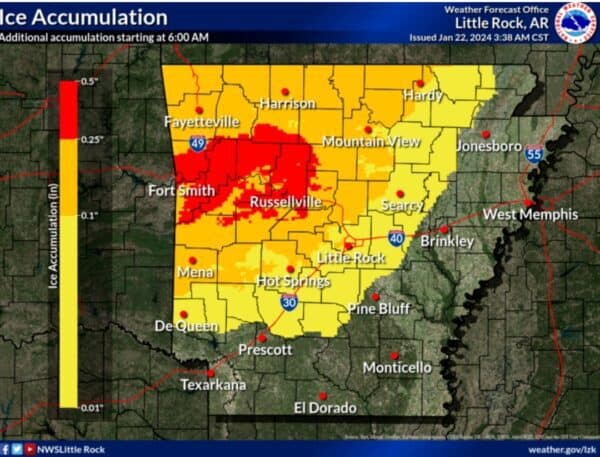
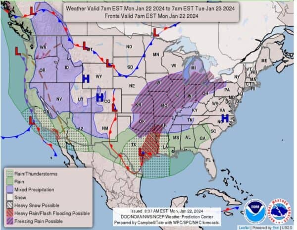
According to the National Weather Service in Little Rock, a Winter Weather Advisory remains in effect until 3:00 p.m. Monday for a portion of Arkansas. While we will see a trend of temps rising as high as 60° in the next few days, Monday morning, we’re looking at freezing rain. That’s additional ice accumulations of a light glaze up to two tenths of an inch. This is in portions of western, central, southern, eastern and northern Arkansas.
Keep scrolling to the 7-Day Outlook to see when it gets better!

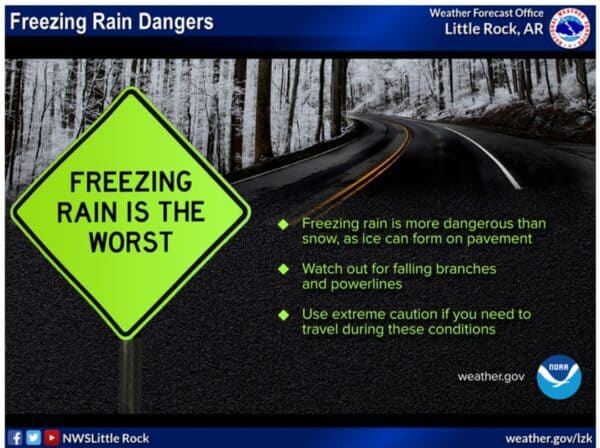
Slow down and use caution while traveling. Prepare for possible power outages. Be sure to check road conditions before traveling in these areas. Visit the Arkansas Department of Transportation’s website Idrivearkansas.com for the latest road and traffic conditions.
Freezing rain is expected to persist through early afternoon with a gradual transition to rain. Before temperatures gradually warm above freezing from south to north Monday, there could be some ice accumulation across roughly the northwest half of the state. The higher terrain areas of the Ouachitas and Ozarks have the highest chance of seeing ice accumulation amounts of 0.25″ or higher.

Read more forecast and 7-Day Outlook below ?

Rain will persist through this week and it could be heavy at times. The highest rainfall amounts through Friday are expected to be across the southern half of the state where 3-5 inches of rain is expected.
7-DAY OUTLOOK:


