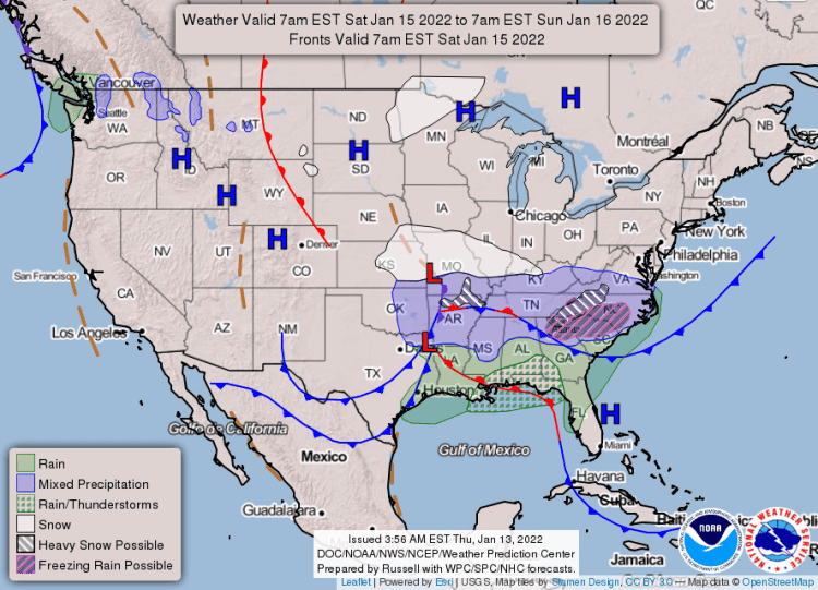
A storm system will affect the area Friday night through Sunday morning according to the National Weather Service in Little Rock.
See weather illustrations and extended forecast below.
As of right now, the areas that are most likely to see accumulating wintry precipitation are much of northern Arkansas, the higher terrain of the Ouachita and Ozark Mountains, and much of east-central Arkansas. The remainder of Arkansas can expect a rain/snow mix with little to no accumulation.
The greatest amounts will be near 4 to 6 inches in the higher terrain of the Ozarks, and 2 to 4 inches across parts of north and northeastern Arkansas. 1 to 2 inches is expected across far western Arkansas and in the terrain of the Ouachitas. Elsewhere in the state can expect less than 1 inch of accumulations.
There is still a degree of uncertainty with this system. Guidance continues to indicate a range of possible solutions, some with significant accumulation in excess of 6 to 8 inches in the heaviest snow bands.
Where these bands may develop remains difficult to pinpoint at this time, so expect some changes to the forecast, including forecast snow accumulation and areas impacted.
Scroll down for the 7-day forecast. ?

HERE’S THE SALINE COUNTY 7-DAY FORECAST:


